- Services
Road measurements
Road bearing capacity (FWD)
Roughness (IRI & IRI4)
Rut Depth Measurements
Pavement Skid Resistance Measurements
Pavement thermal measurements (TGS)
ITS & road information systems
Road and Traffic Cameras
Road Weather and Road Weather Stations
Traffic counting
Variable Message Signs
Weigh-in-motion
- Trainings
- Contact
 ENG
ENG
- Services
Road measurements
Road bearing capacity (FWD)
Roughness (IRI & IRI4)
Rut Depth Measurements
Pavement Skid Resistance Measurements
Pavement thermal measurements (TGS)
ITS & road information systems
Road and Traffic Cameras
Road Weather and Road Weather Stations
Traffic counting
Variable Message Signs
Weigh-in-motion
- Trainings
- Contact
ENG
SERVICES
Ground Penetrating Radar
Ground-penetrating radar (GPR) is a geophysical device that allows obtaining information about the environment below the ground, e.g. of road layers, soils or utility networks as a continuous profile.
Teede Tehnokeskus has been conducting ground radar measurements since 2000, when in cooperation with the Finnish company Roadscanners OY, research was started in the USA with the GSSI SIR 10H device, specially developed for measuring roads and adapted to Estonian conditions.
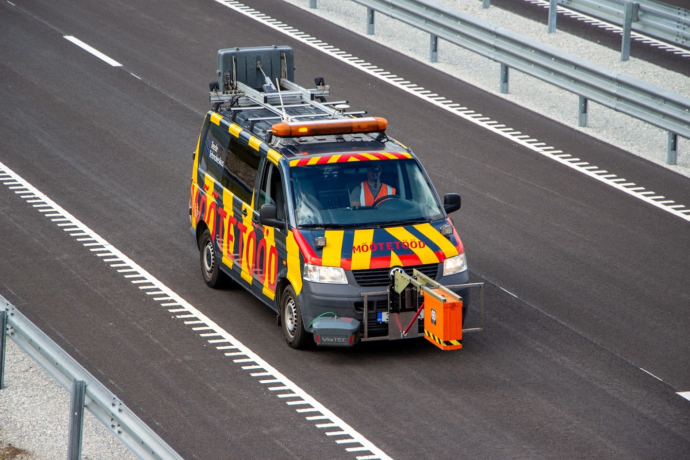
Today, we perform ground radar measurements with a new generation of equipment – the most modern ground radar adapted for highway measurements produced by Geophysical Survey Systems Inc. and 2300 MHz with measuring antennas. The equipment used allows for 3D measurements. Depending on the equipment used and the purpose of the work, we use special ground radar data processing software.
The main places where ground radar should be used:
- Quality control of road works
- measurement of coating permanent porosity and compaction factors
- assessment of coating and other layer thicknesses
- Pre-construction and reconstruction studies of roads
- optimization of geological drilling
- determination of cover and soil layer thicknesses
- mapping of underground utility networks
- road-earth archaeological research
- Ice road thickness studies
- Detection of soil layer anomalies
Important!
When planning ground-penetrating radar measurements, several environmental characteristics must be taken into account. E.g. several soils are signal absorbing, i.e. those in which the radar signal is attenuated and is not reflected back to the device. The measurement results can also be hindered by environmental noise of various origins, e.g. many cultivated/engineered soils or measurements in the area of strong radio signals. Often, the searched objects may give a similar signal to other objects, and the electromagnetic characteristics of many searched objects may not differ from those of the soil and therefore are not visible to the ground radar. However, in many cases, it is possible to minimize the influence of undesirable factors by configuring the device and a well-thought-out measurement plan. In many cases, it is also necessary to perform post-processing of the measurement data. Therefore, it is important to describe the measurement task and purpose as well as the known environmental conditions to the measurer as precisely as possible. The more relevant information there is, the more likely it is to get the desired result.Get in touch
Ground Penetrating Radar